
Drone Commercial / Residential Photographer Wilmington, NC
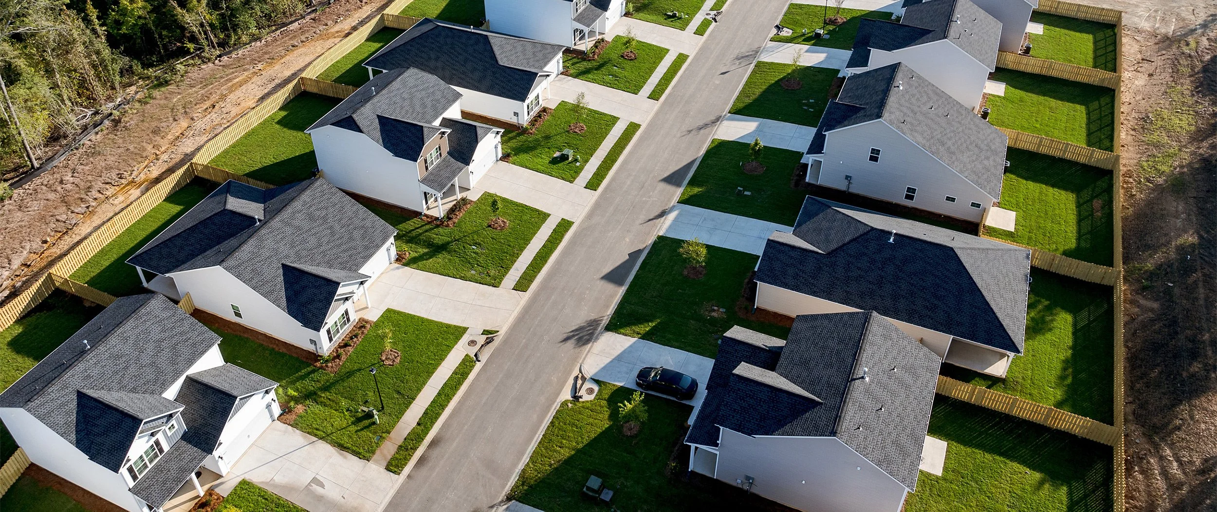
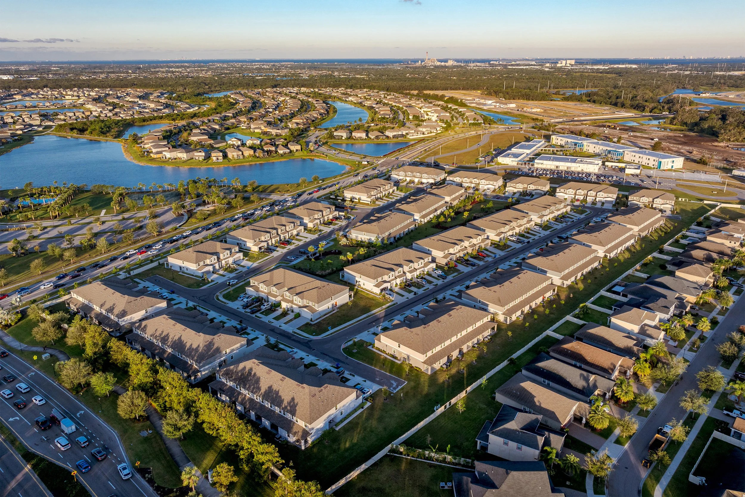
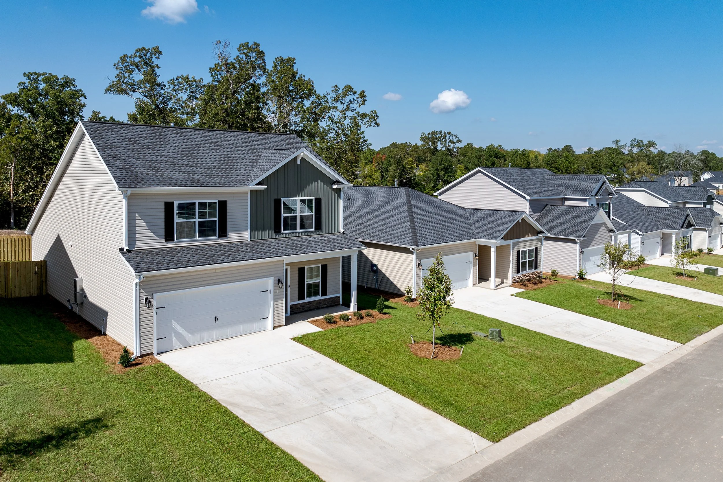
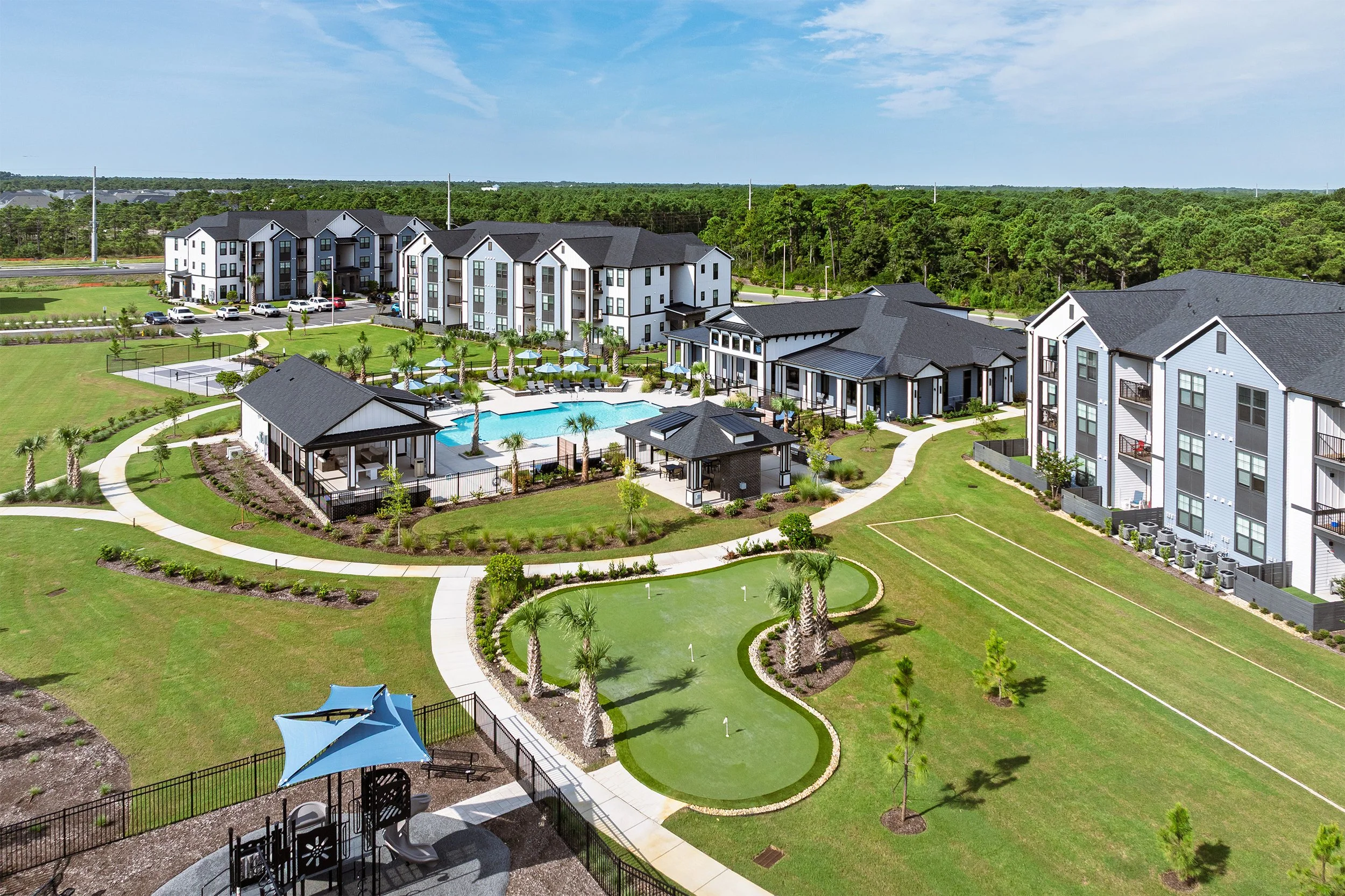
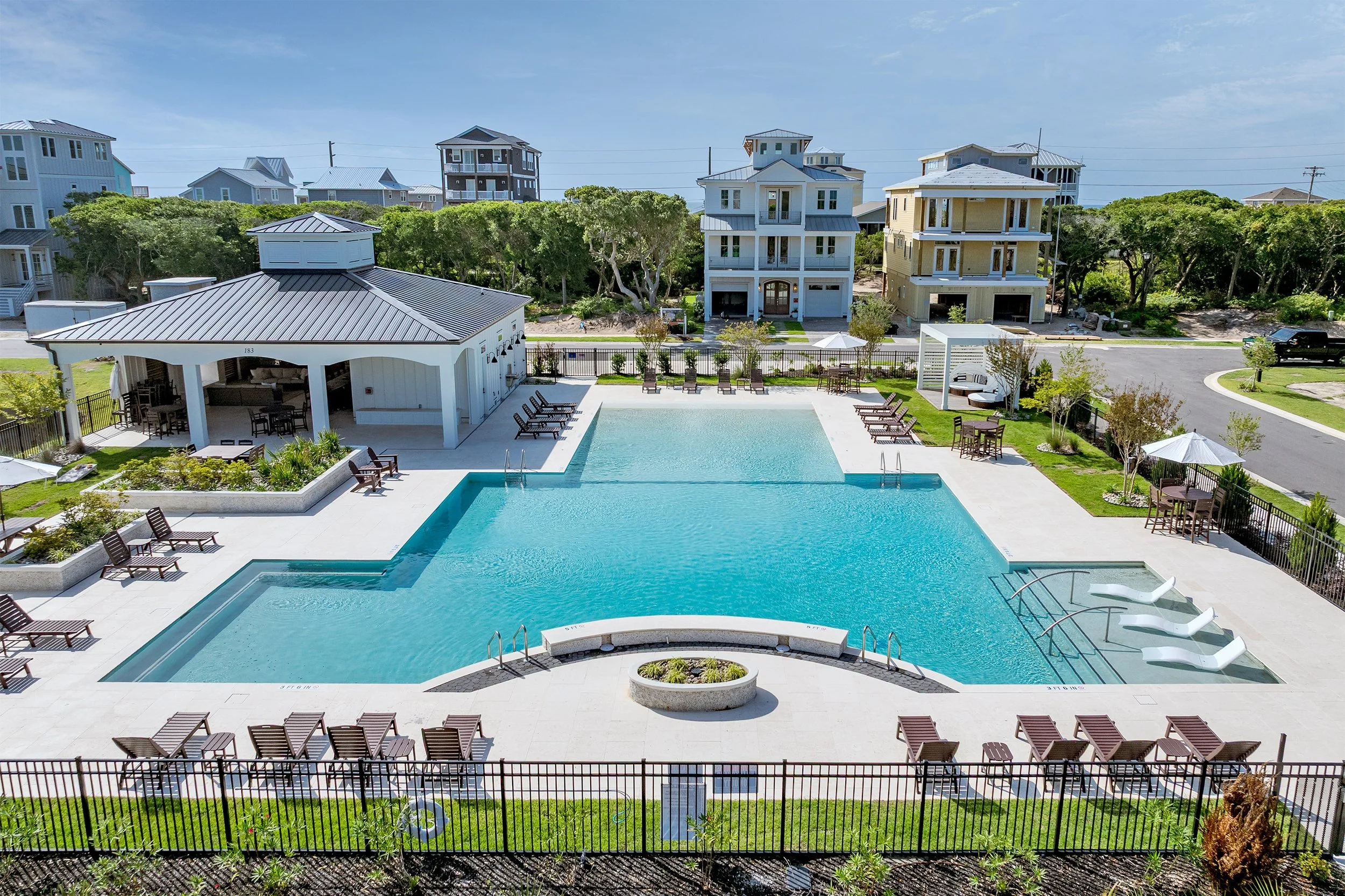
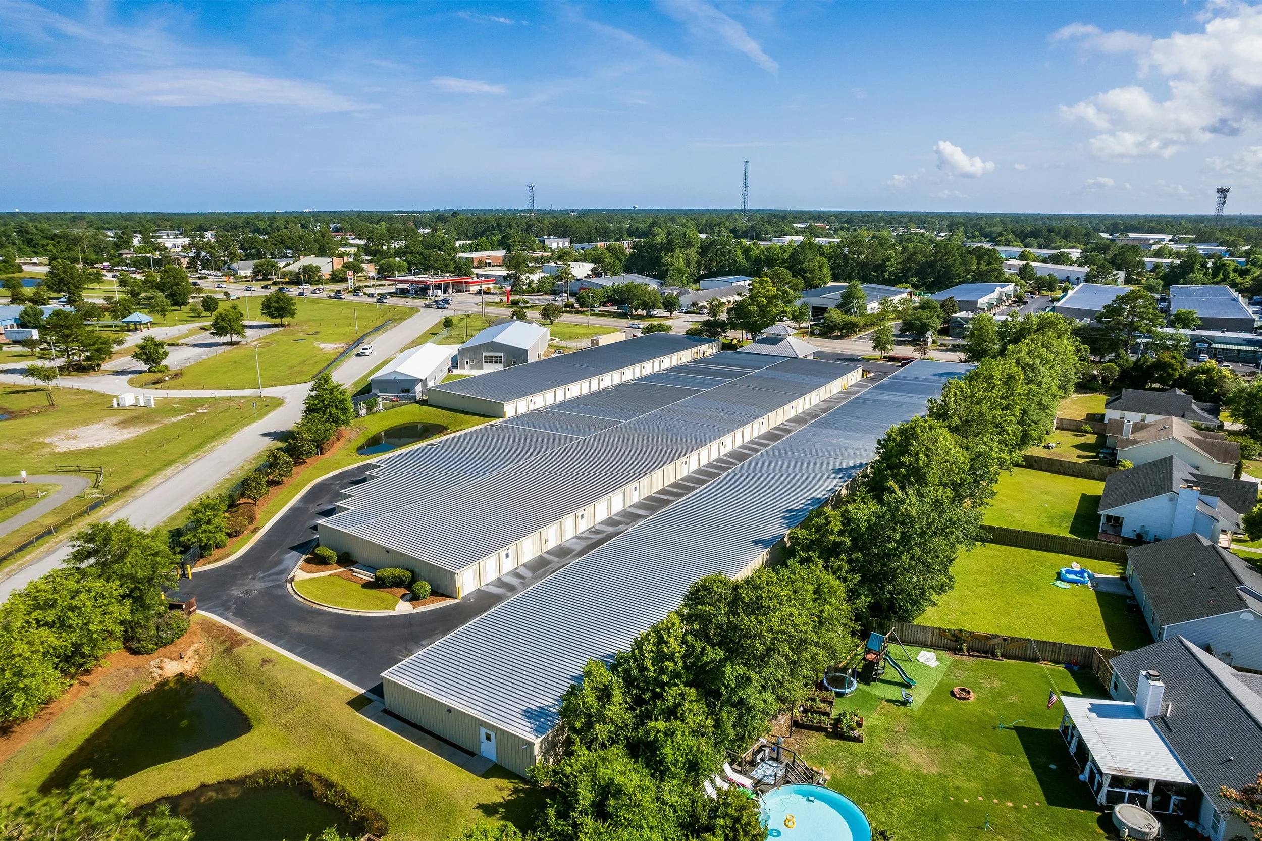
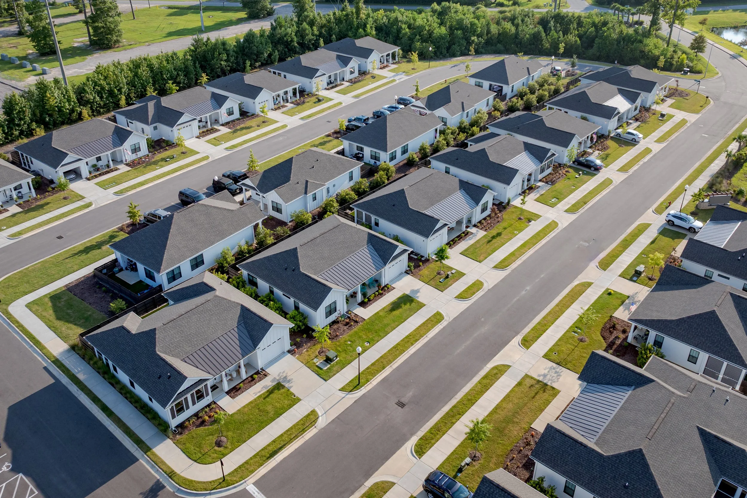
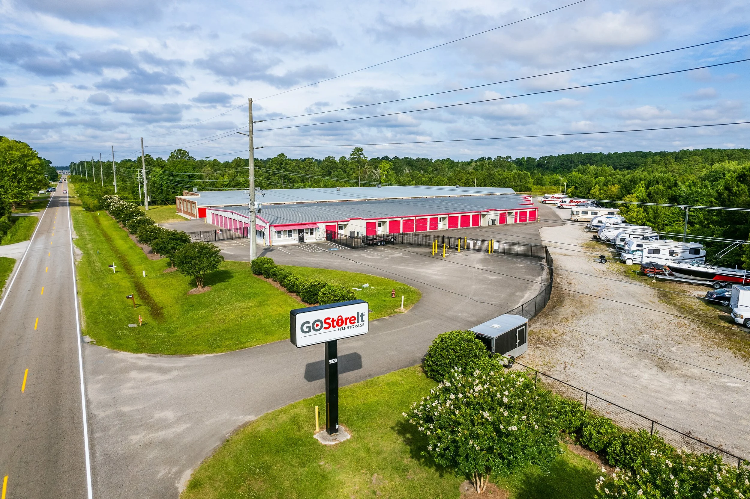
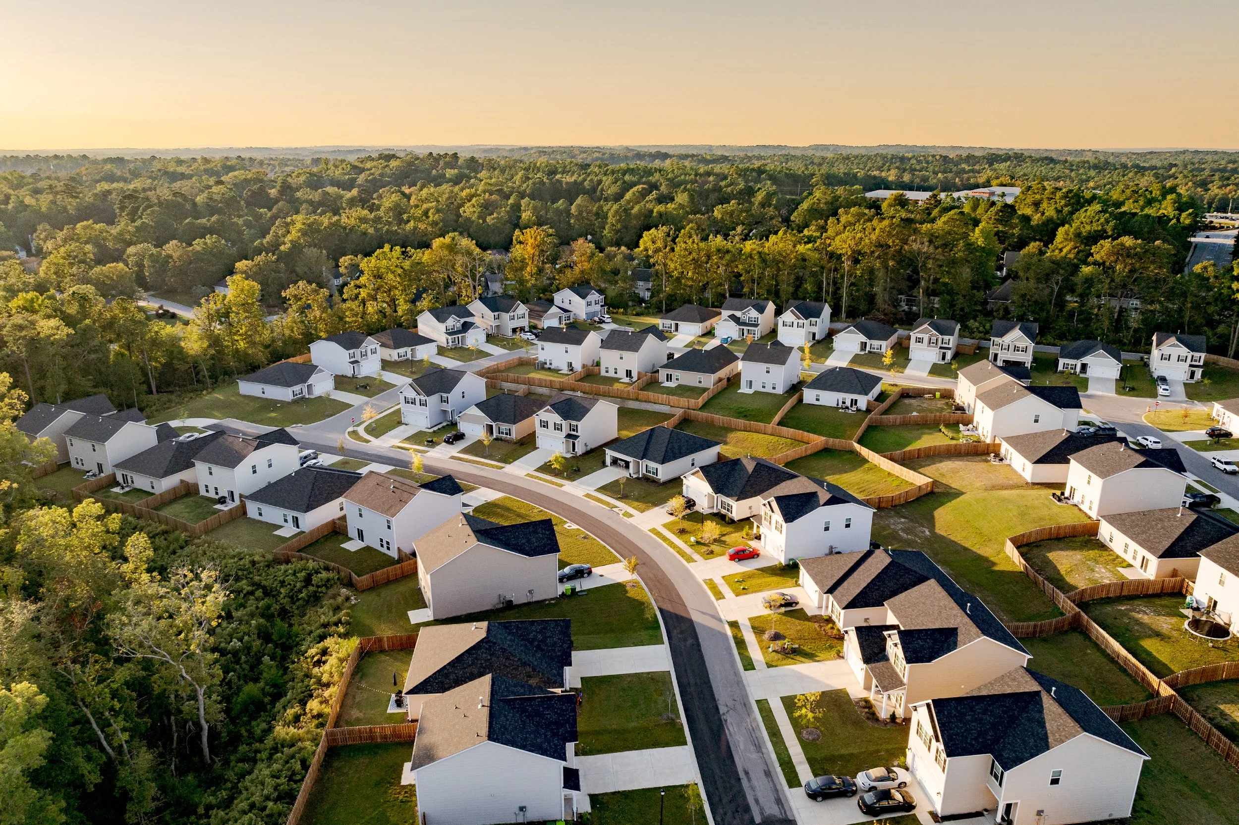
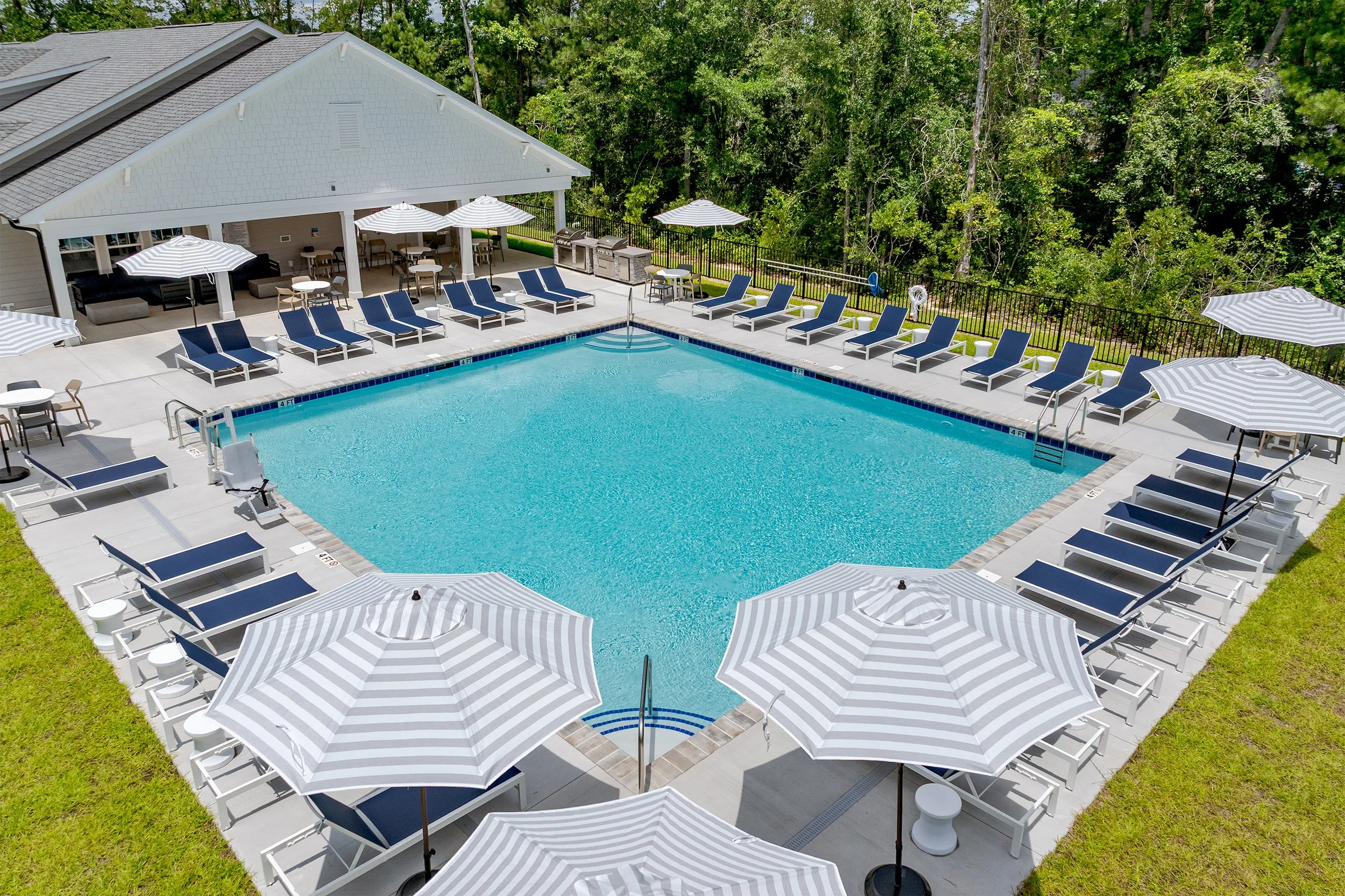
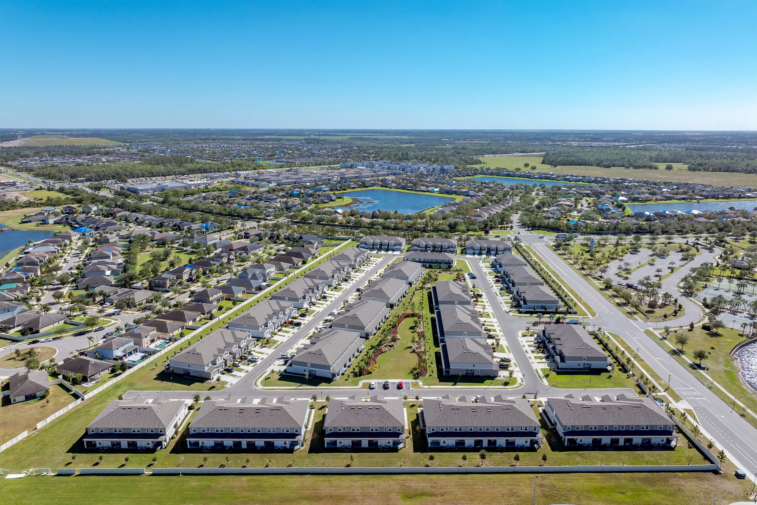
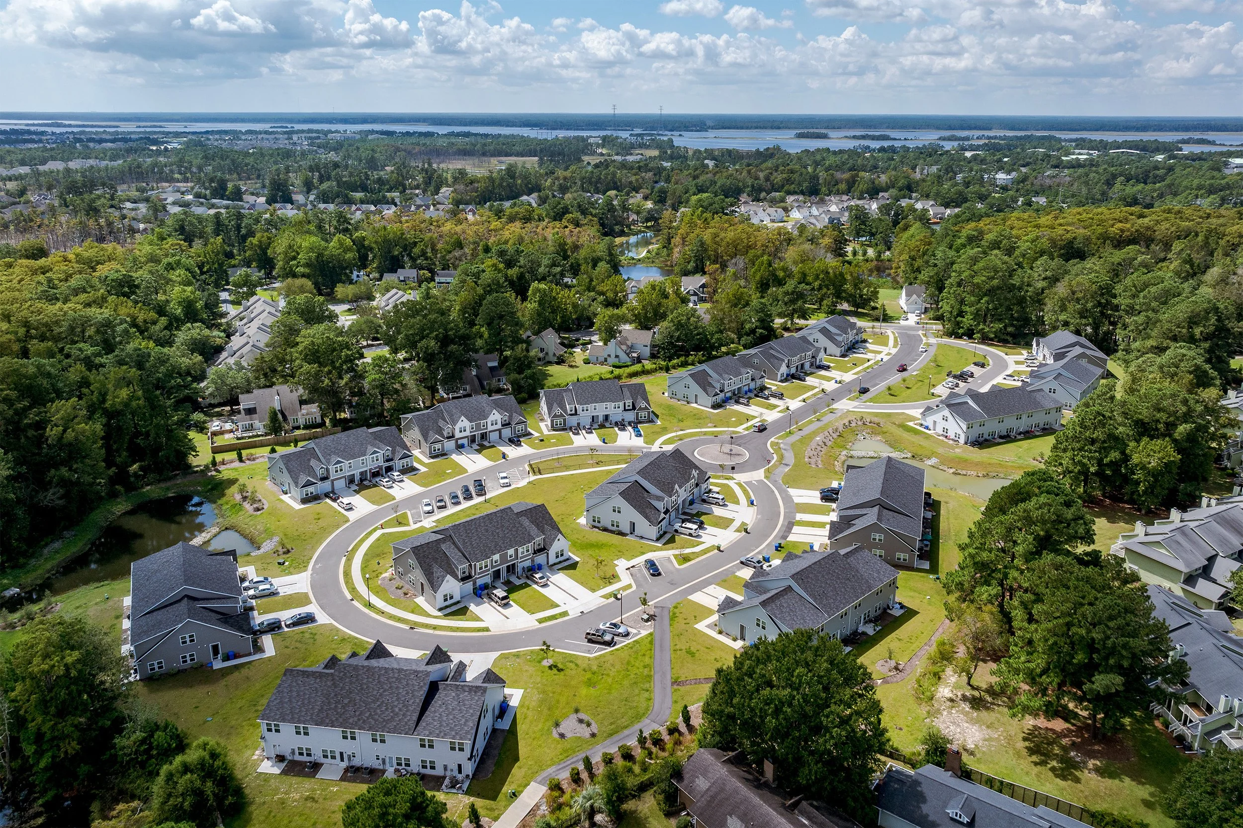
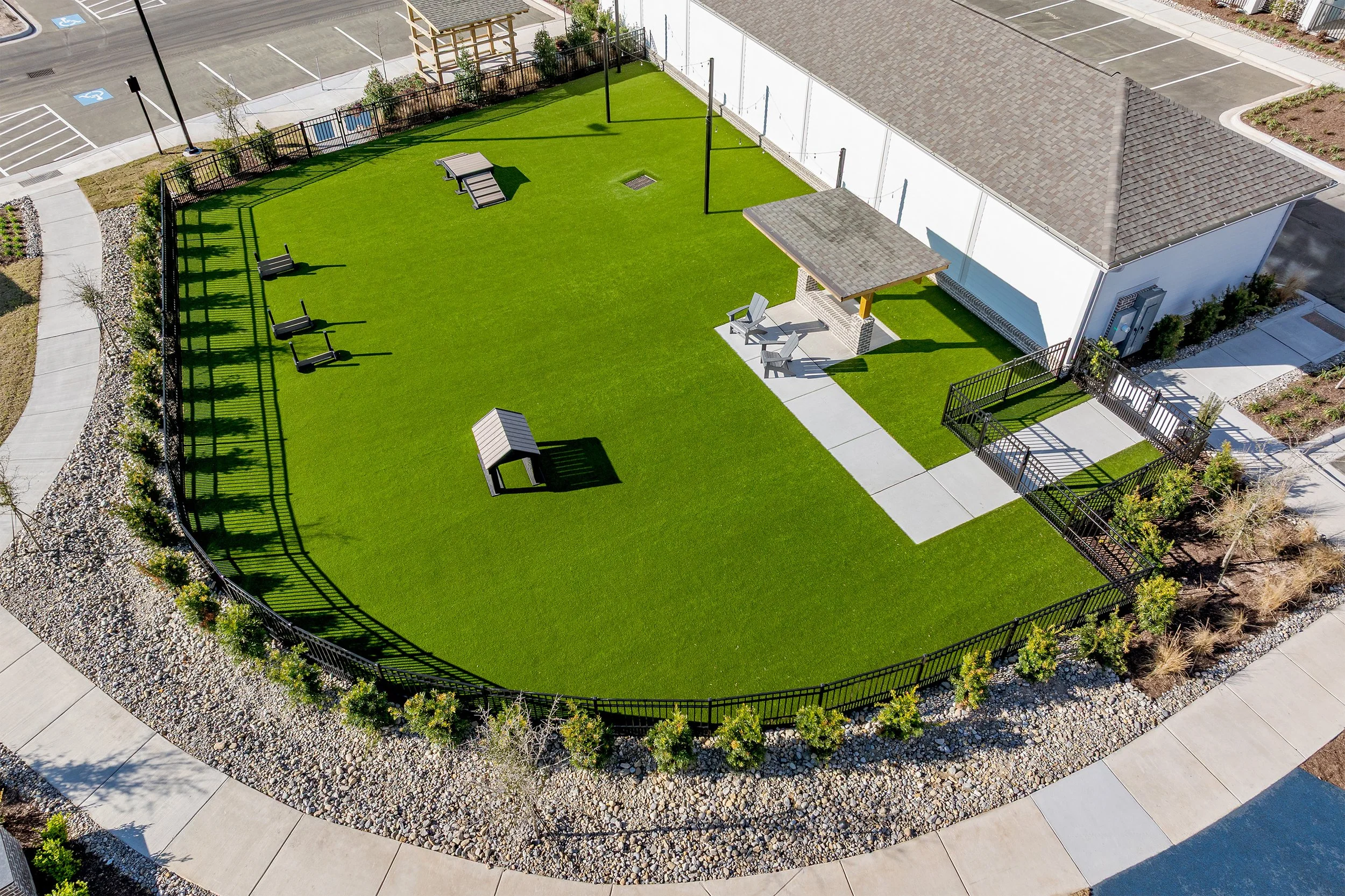
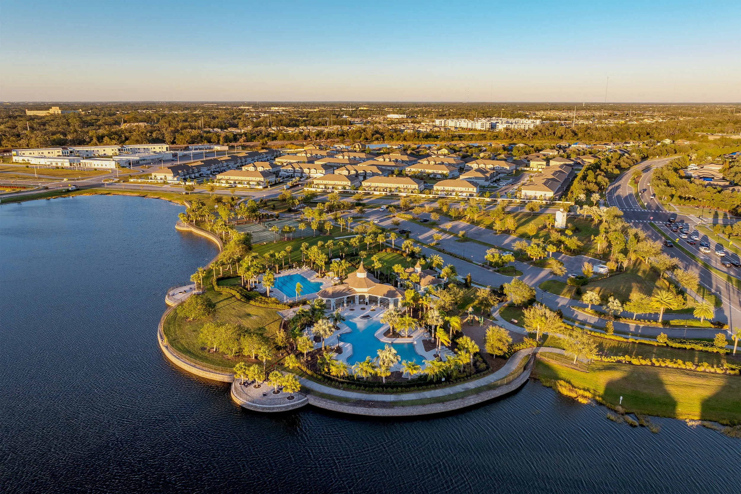
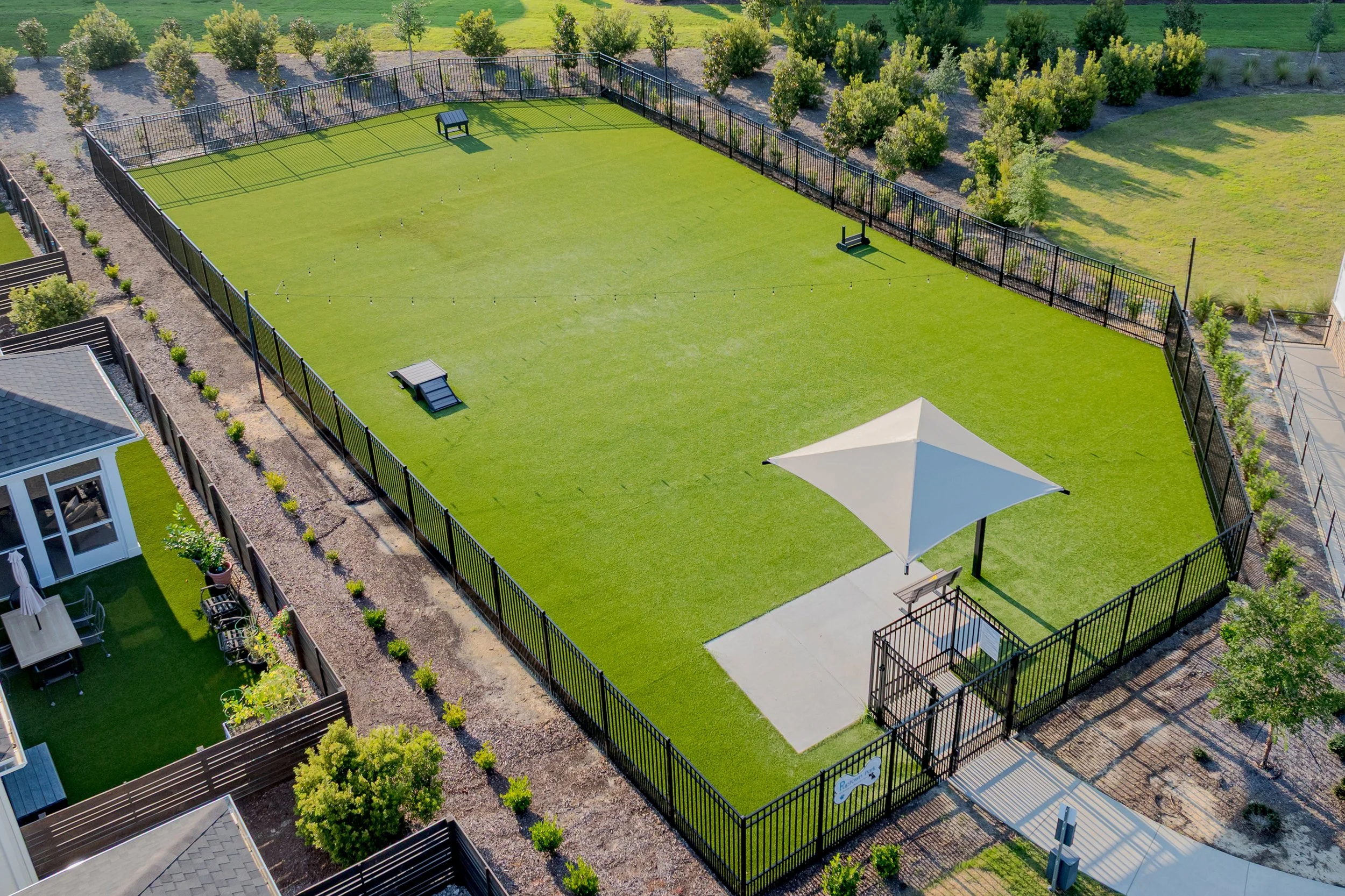
Commercial Drone Photography
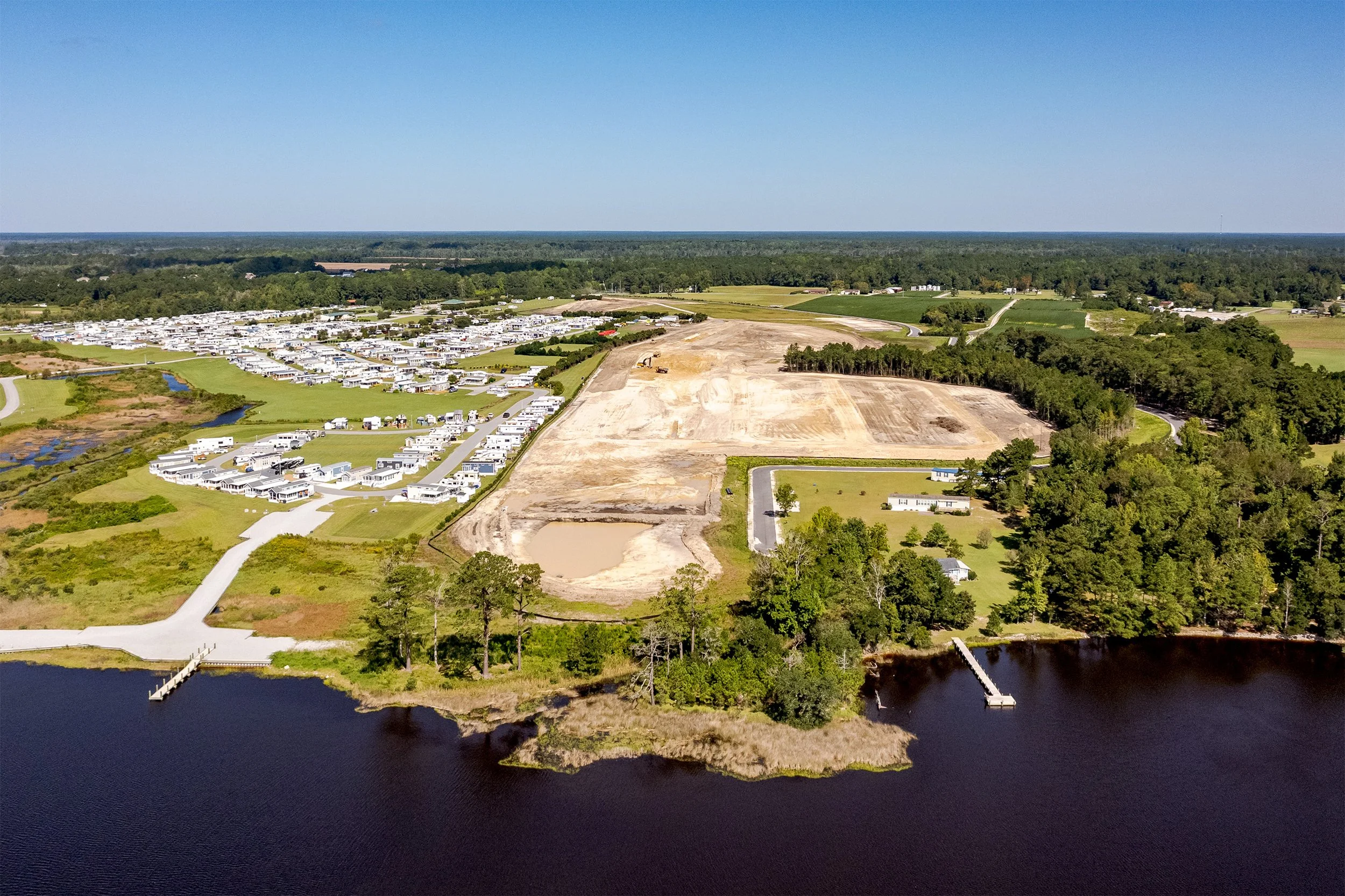
Professional aerial photography capturing residential communities and commercial buildings from a bold, elevated perspective. These visuals reveal patterns, structure, and context, delivering compelling imagery that enhances marketing, presentations, and project documentation.
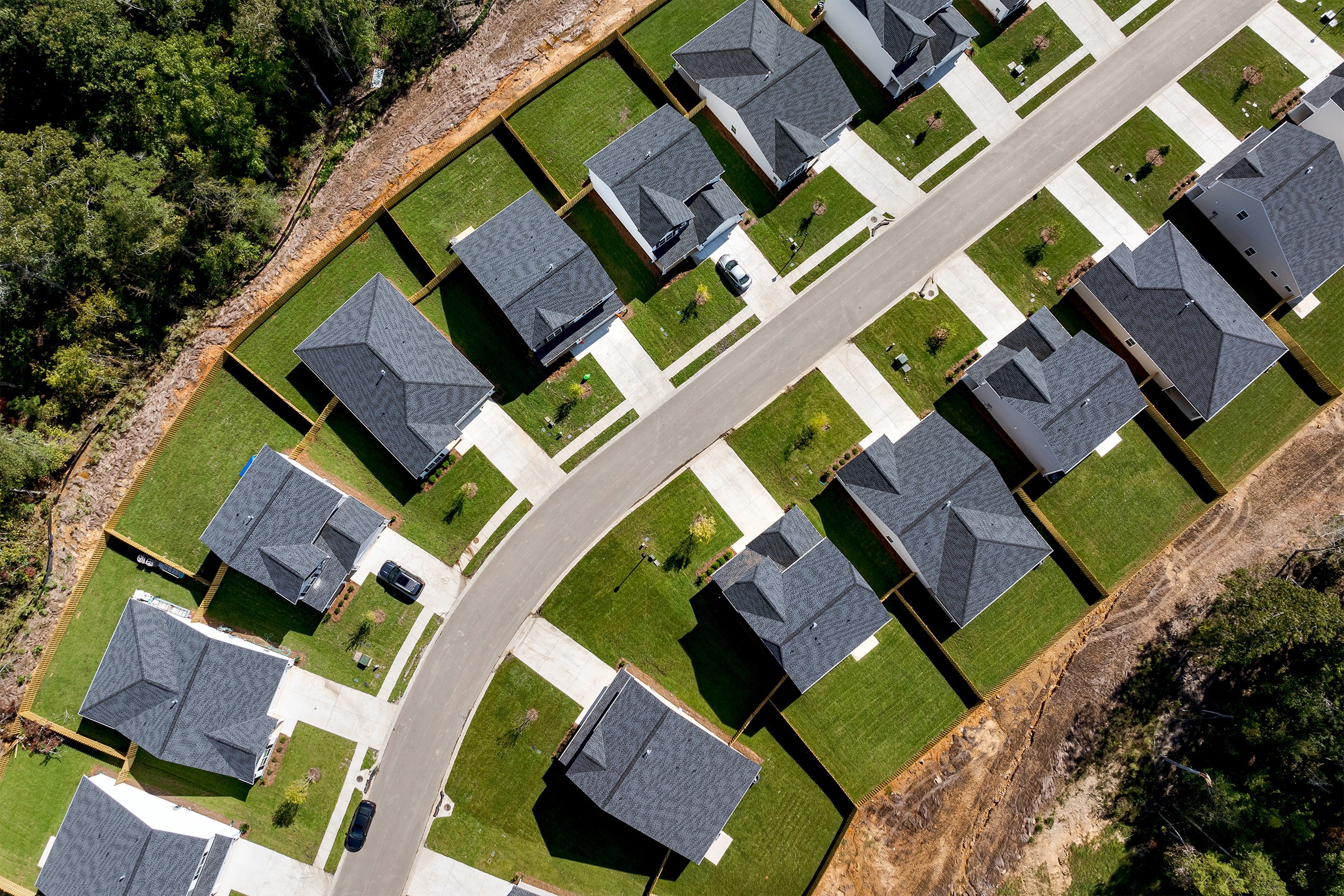
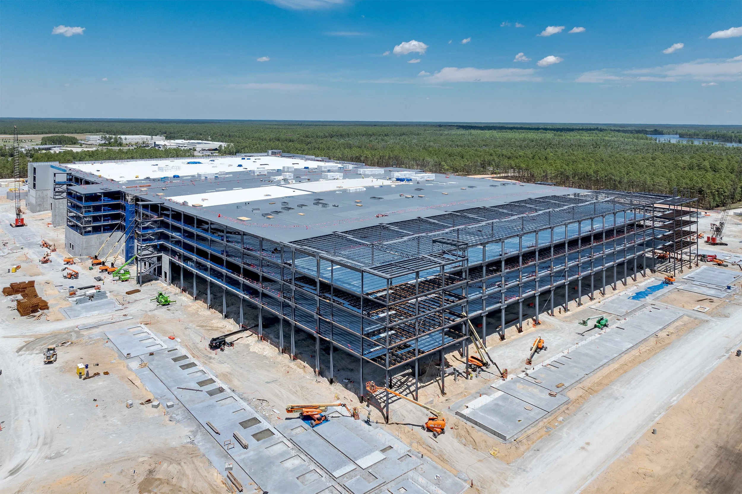
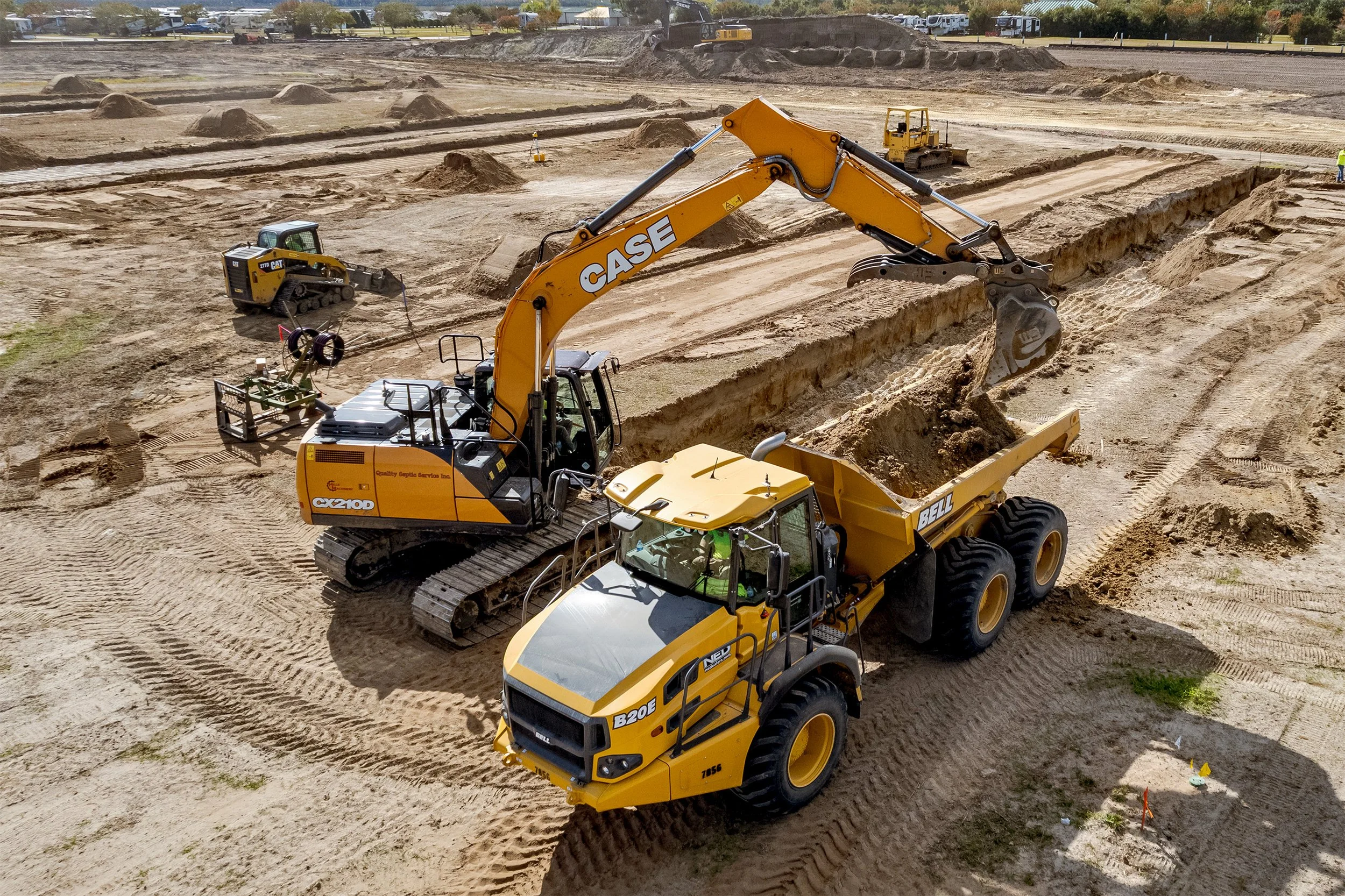
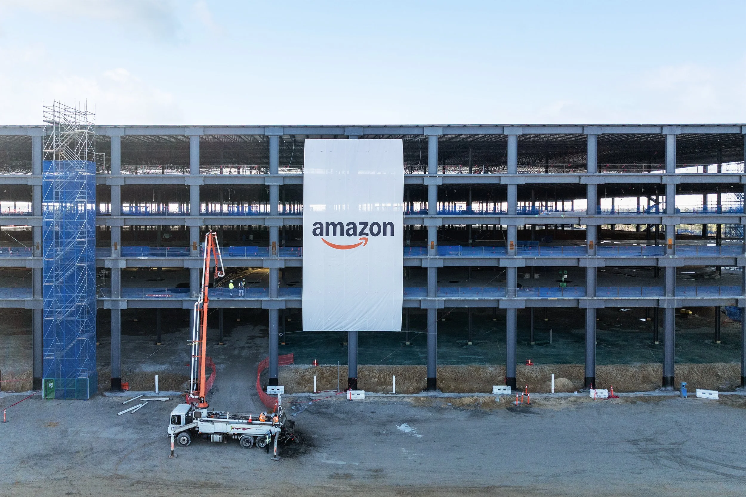
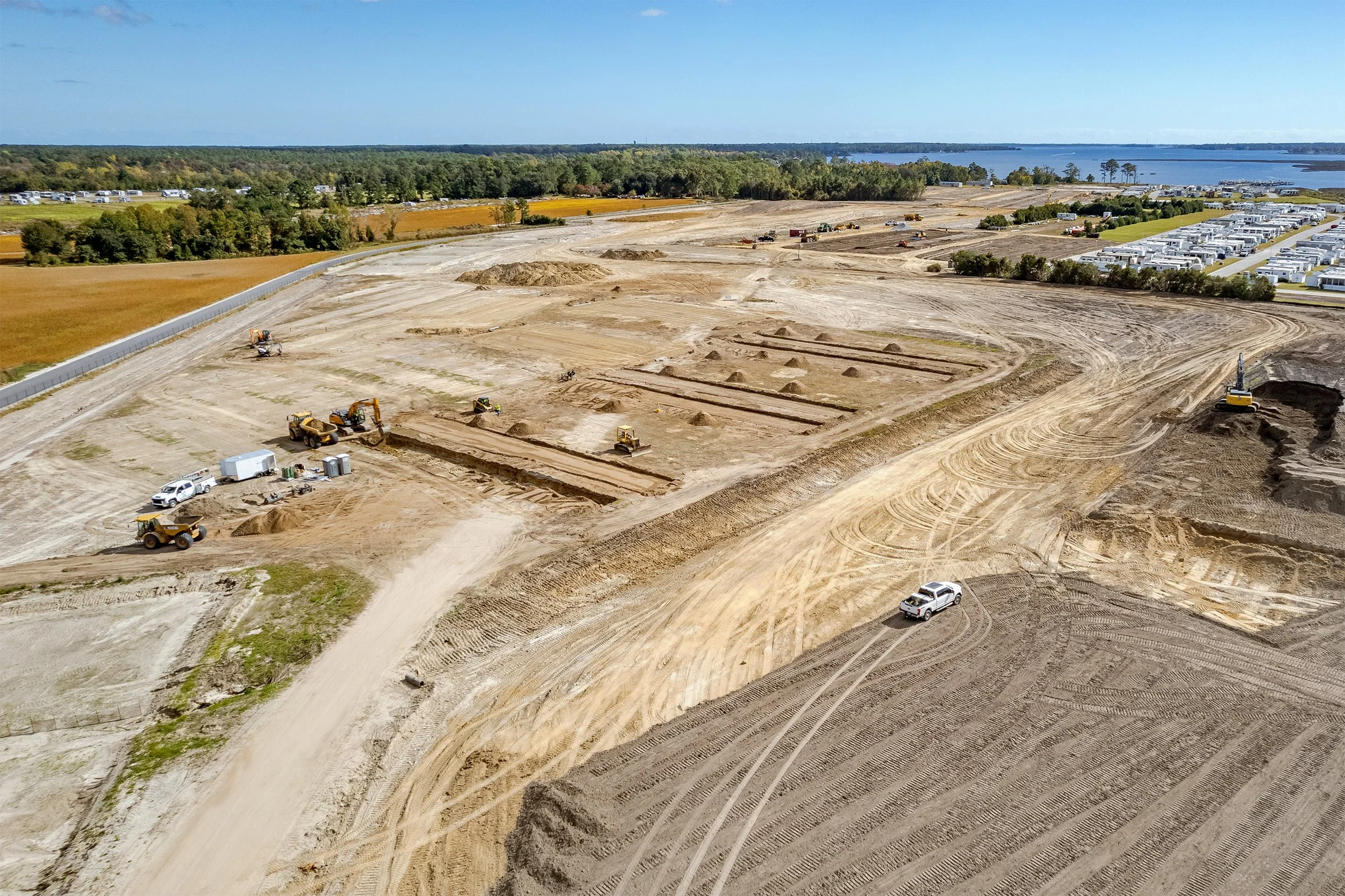
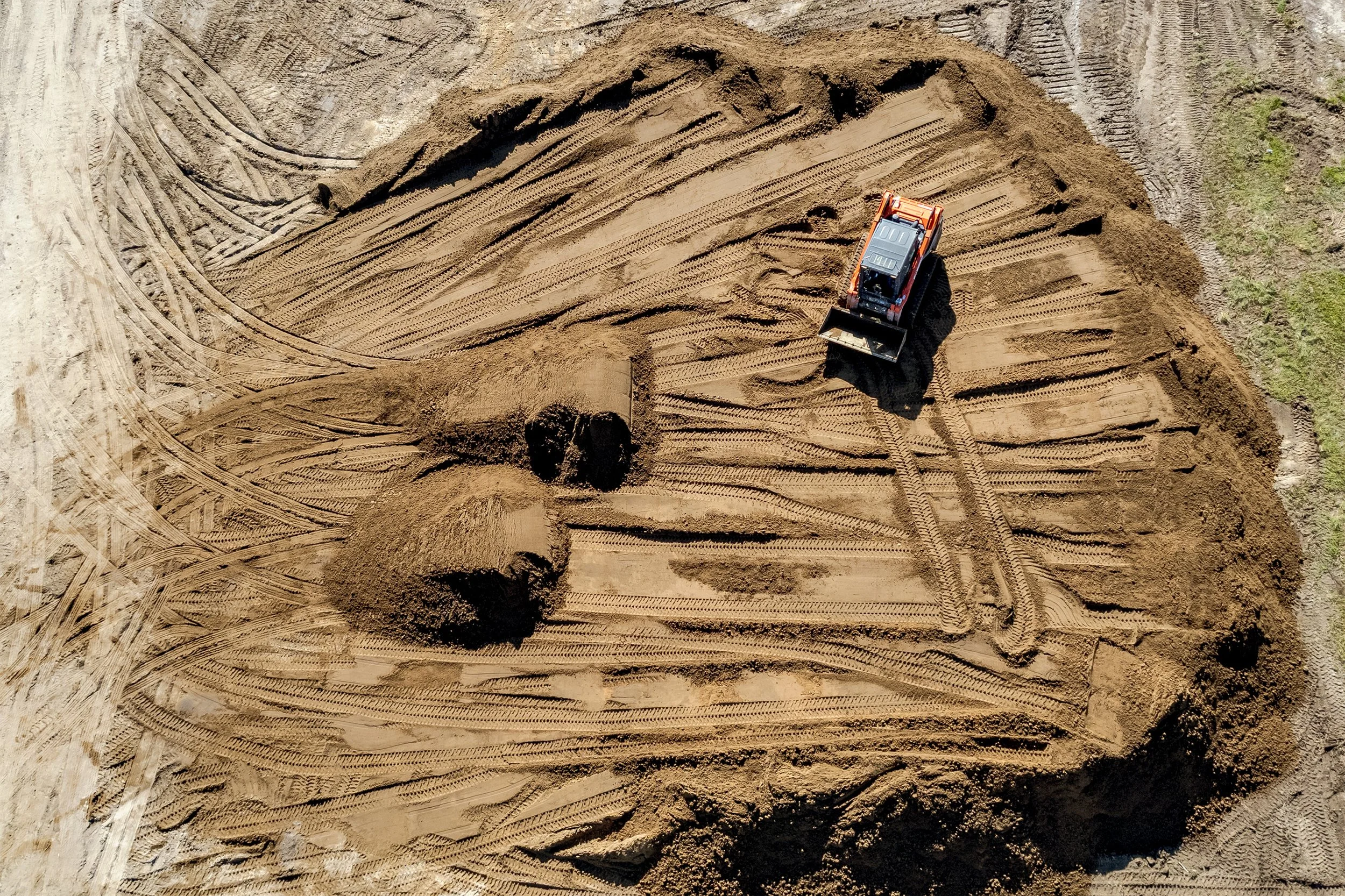
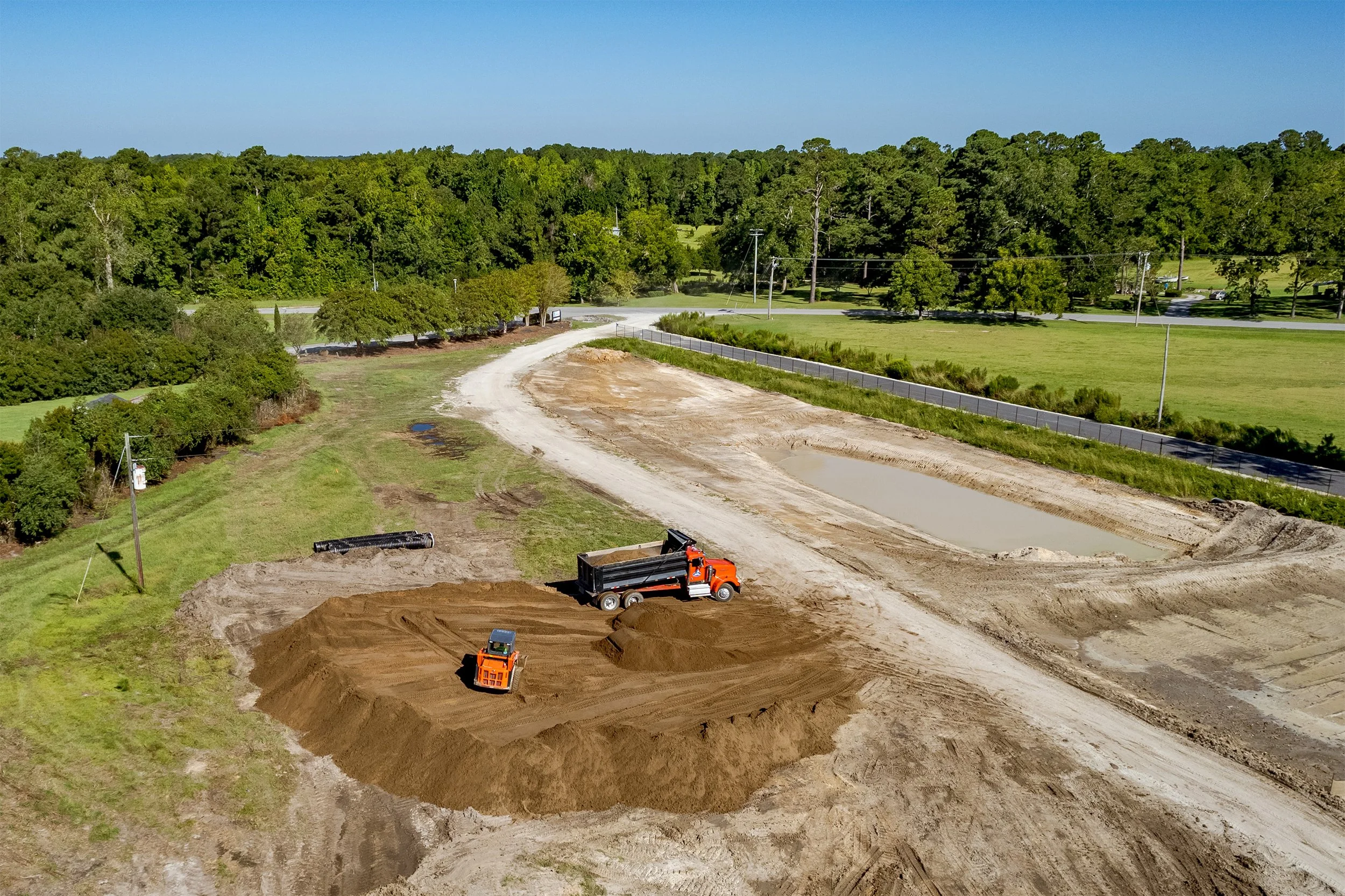
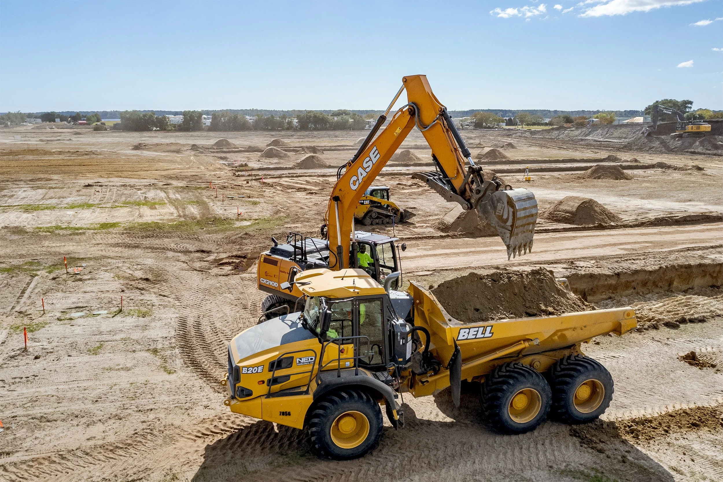
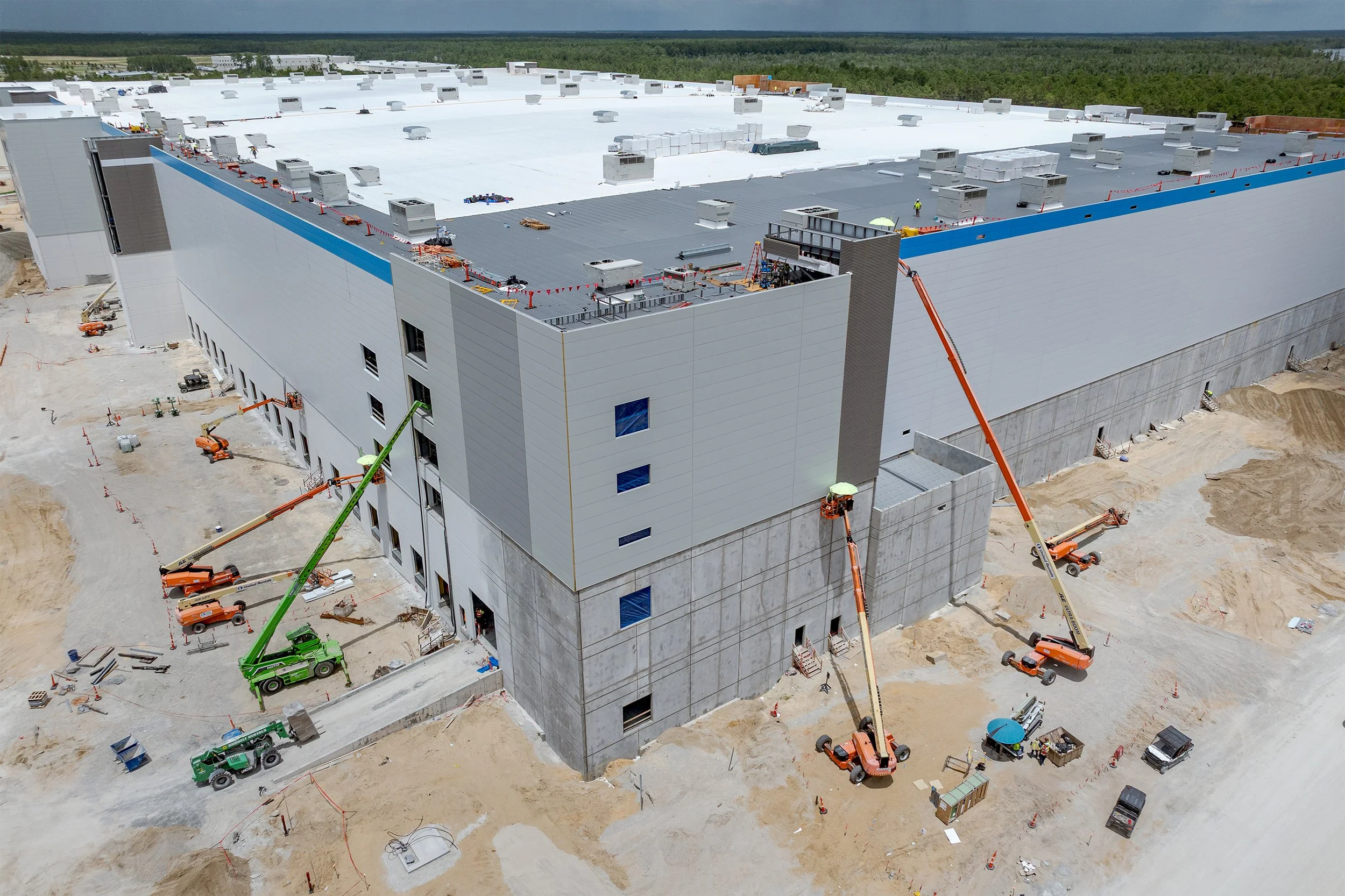
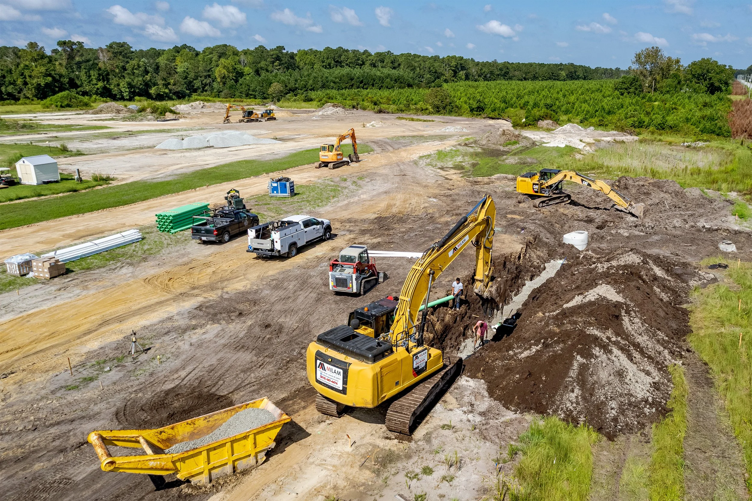
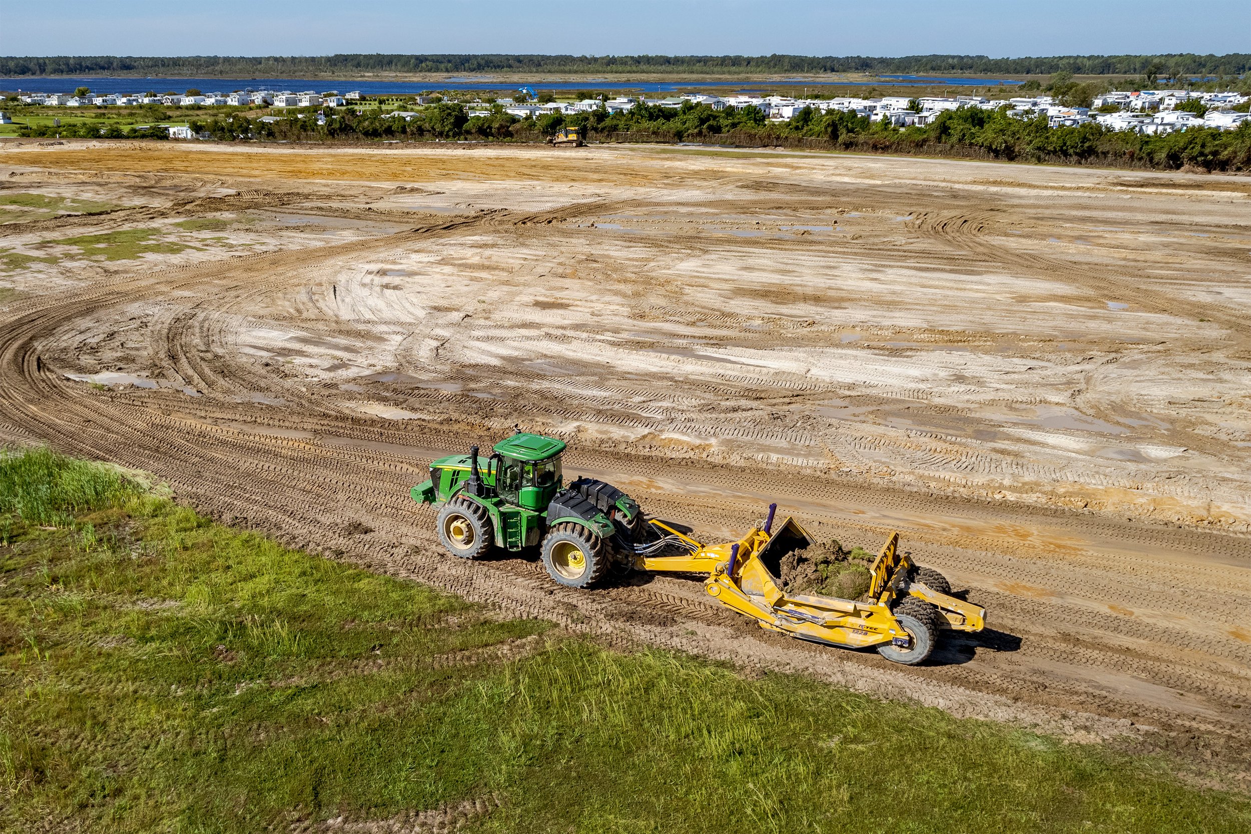
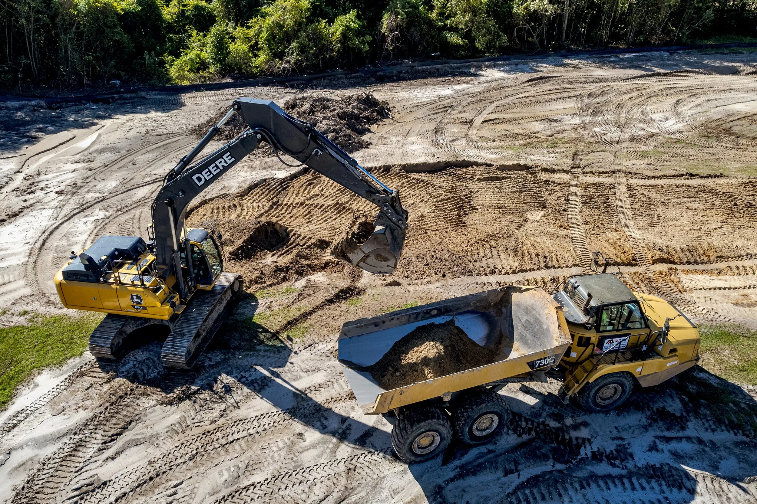
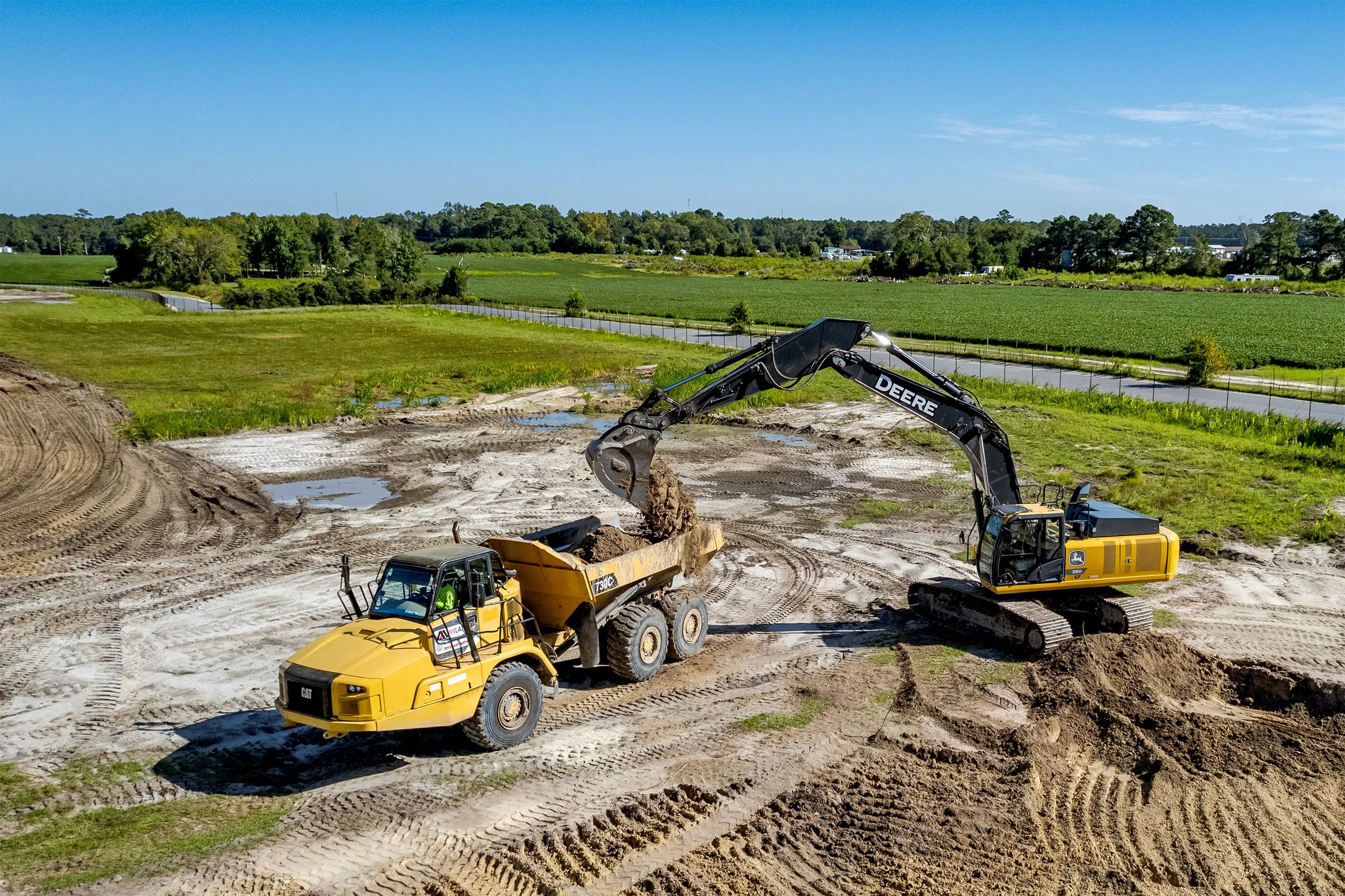
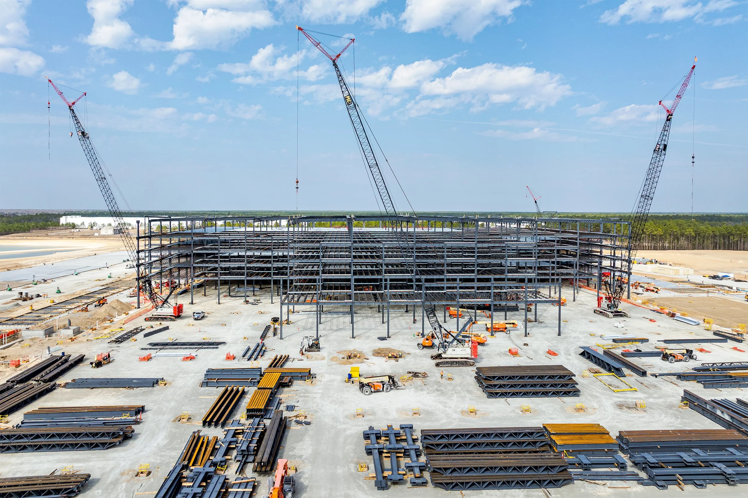
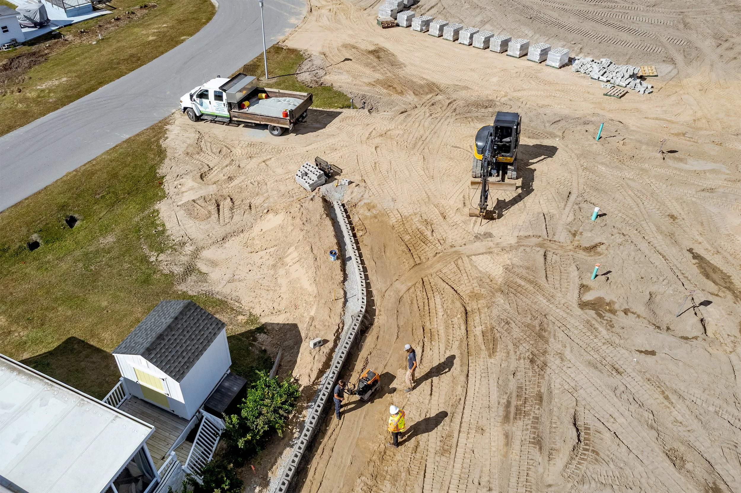
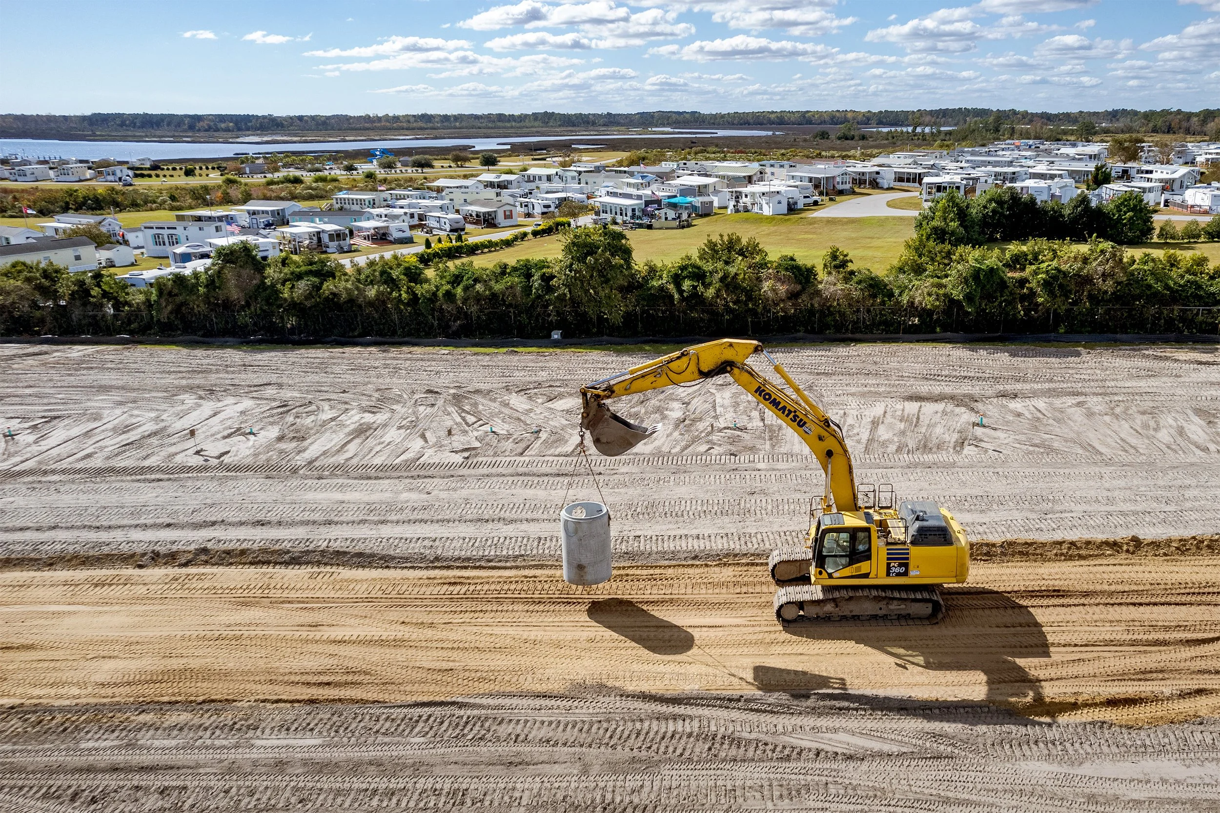
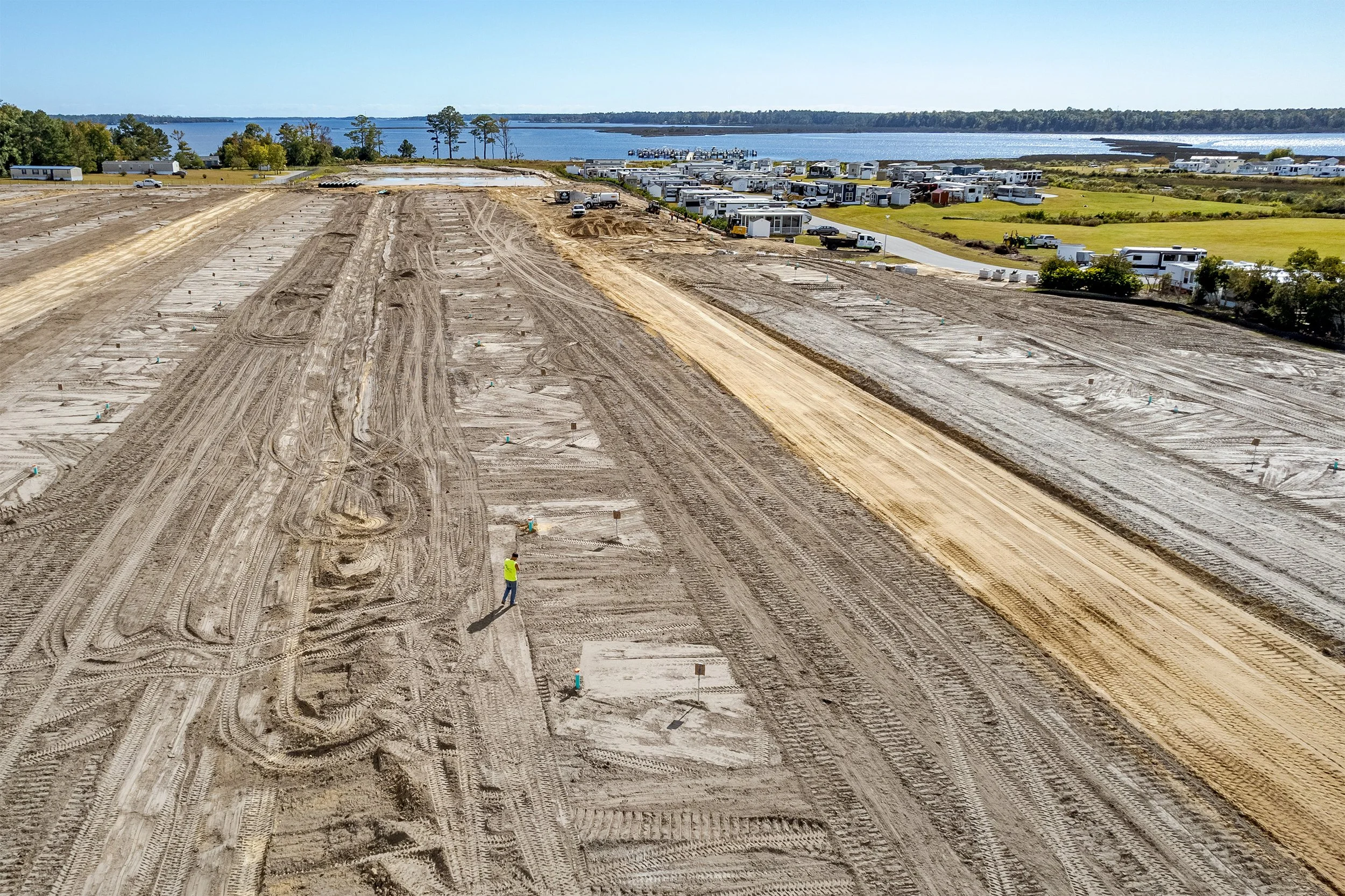
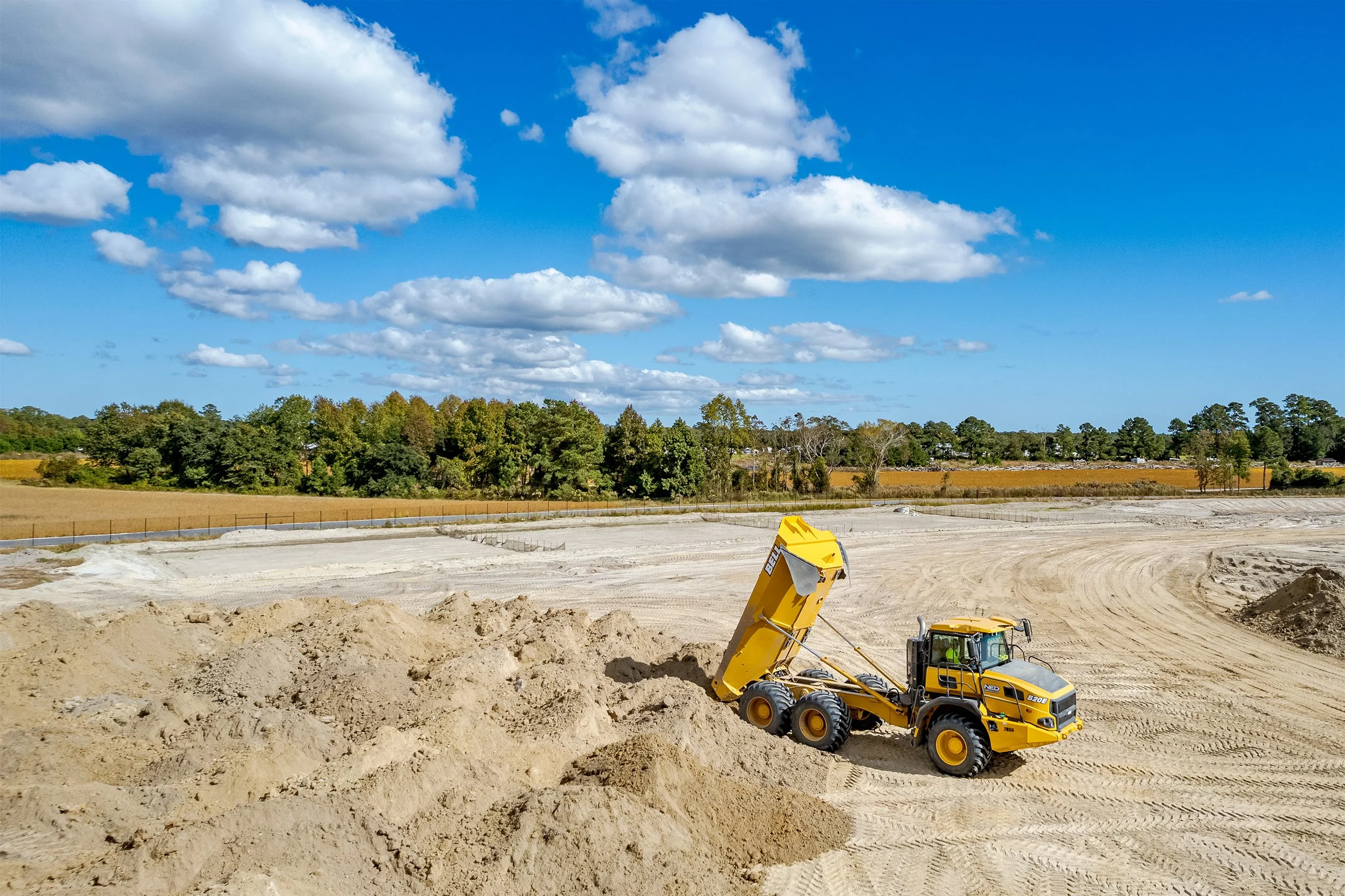
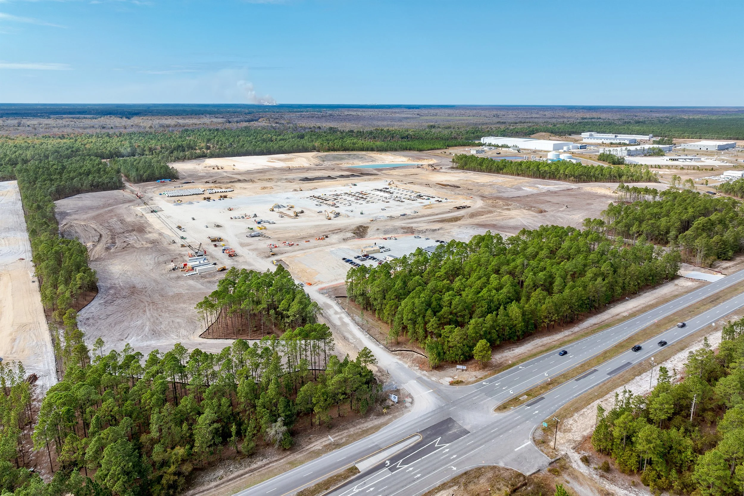
Drone Progress Monitoring For Construction
Gain a powerful aerial perspective of your construction site. Offering flexible update schedules—weekly, bi-weekly, or monthly—ensure you never miss a milestone. Take advantage of high-resolution photography and video to deliver clear documentation and impressive visuals for your progress tracking and presentations.
Clients Include:
Amazon / The Conlan Company / Stark Enterprises / Brandywine Homes / Schumacher Homes / Topsail Sound RV Park / White Oak Shores RV Park

Cell: (910) 232-5755
Email: info@kennyophoto.com